File:World location map (equirectangular 180).svg
From Historical Hastings
.svg)
.svg&action=edit&redlink=1)
.svg)

Size of this PNG preview of this SVG file: 1,280 × 640 pixels. Other resolutions: 320 × 160 pixels | 640 × 320 pixels | 800 × 400 pixels | 1,024 × 512 pixels | 2,521 × 1,260 pixels.
Original file (SVG file, nominally 2,521 × 1,260 pixels, file size: 4.19 MB)
Summary
| Description |
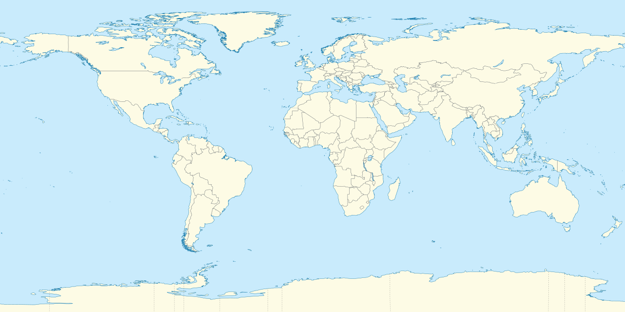
Deutsch: Positionskarte der Welt. Plattkarte von 180° Ost bis 180° West und von 90° Nord bis 90° Süd
English: Location map of the world. Equirectangular projection from 180°E to 180°W and from 90°S to 90°N |
| Date | |
| Source |
Own work This SVG _?_ includes elements that have been taken or adapted from this _?_: |
| Author |
TUBS |
| Other versions | Derivative works of this file: Weltumrundung Elly Beinhorn 1932.png |
| SVG genesis | This W3C-invalid world map was created with Adobe Illustrator by TUBS |
Licensing
I, the copyright holder of this work, hereby publish it under the following licences:
This file is licensed under the Creative Commons Attribution-Share Alike 3.0 Unported licence.
- You are free:
- to share – to copy, distribute and transmit the work
- to remix – to adapt the work
- Under the following conditions:
- attribution – You must give appropriate credit, provide a link to the licence, and indicate if changes were made. You may do so in any reasonable manner, but not in any way that suggests the licensor endorses you or your use.
- share alike – If you remix, transform, or build upon the material, you must distribute your contributions under the same or compatible licence as the original.

|
Permission is granted to copy, distribute and/or modify this document under the terms of the GNU Free Documentation Licence, Version 1.2 or any later version published by the Free Software Foundation; with no Invariant Sections, no Front-Cover Texts, and no Back-Cover Texts. A copy of the licence is included in the section entitled GNU Free Documentation Licence. |
You may select the licence of your choice.

|
I'd greatly appreciate, that you attribute this media file to Wikimedia Commons, if used outside Wikipedia or Commons. For use in publications such as books, newspapers, blogs, websites, please insert here the following line:
|
.svg)
File history
Click on a date/time to view the file as it appeared at that time.
| Date/Time | Thumbnail | Dimensions | User | Comment | |
|---|---|---|---|---|---|
| current | 20:31, 9 September 2011 | | 2,521 × 1,260 (4.19 MB) | TUBS | {{Information |Description=={{de|Positionskarte der Welt. Plattkarte von 180° Ost bis 180° West und von 90° Nord bis 90° Süd }} {{en|Location map of the world. [[:en:Equirectangular projection|Equirectan |
File usage
The following 14 pages link to this file:
- Template:Infobox business park
- Template:Infobox business park/doc
- Template:Infobox castrum
- Template:Infobox castrum/doc
- Template:Infobox golf facility
- Template:Infobox golf facility/doc
- Template:Infobox holocaust event
- Template:Infobox holocaust event/doc
- Template:Infobox prison
- Template:Infobox prison/doc
- Template:Infobox residential college
- Template:Infobox residential college/doc
- Template:Infobox station
- Template:Infobox station/doc
.svg)
.svg)
.svg)
.svg&action=info)