File:Map showing extent of Little Ridge Farm.jpg
From Historical Hastings

Size of this preview: 718 × 1,023 pixels. Other resolutions: 168 × 240 pixels | 337 × 480 pixels | 421 × 600 pixels | 539 × 768 pixels | 718 × 1,024 pixels | 1,437 × 2,048 pixels.
Original file (1,437 × 2,048 pixels, file size: 887 KB, MIME type: image/jpeg)
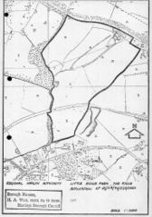
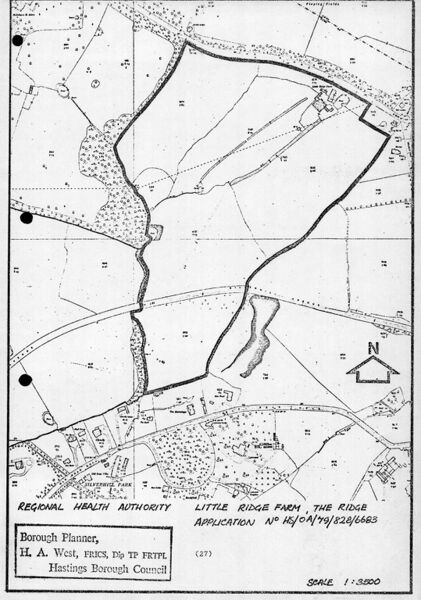
Map circa 1979 showing outline of Little Ridge farm in a planning application for development of the Conquest Hospital
File history
Click on a date/time to view the file as it appeared at that time.
| Date/Time | Thumbnail | Dimensions | User | Comment | |
|---|---|---|---|---|---|
| current | 12:29, 3 May 2020 | | 1,437 × 2,048 (887 KB) | Royp (talk | contribs) |
You cannot overwrite this file.
File usage
The following page links to this file: